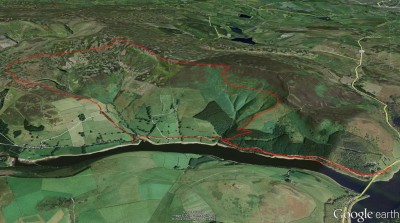
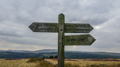
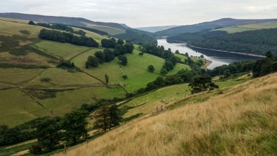
I took a bit of time for me and went for a walk around Ladybower going up onto Derwent edge and this post has a few camera snaps to show the lay of the land and a Google earth screen grab overlayed with the route I took.
When I set off from home the skys where blue when I got to Ladybower and by the time I had gotten onto the tops the cloud had complete cover ………..
I parked on the A57 Snake Rd in the layby overlooking Ladybower I then crossed the road onto Derwent lane and walked alongside the Reservoir dropping down a couple of times where I could to the waters edge and also having my lunch on a bench overlooking the water I was watched a few inches away by one female Mallard duck who circled me waiting for a snack, I then walked a bit further and took some shots of a fence that runs into the water and noticed the blue green algae slick drifting in the water.
I then went on the logging track up through the woods along the edges of the high pastures ont a bridleway below Derwent Edge and walked that for a while and decided I would “Nip ” up to the top of the edge and walk to Dove stones well nipping across ferns and heather is harder than staying on track (always recommended).
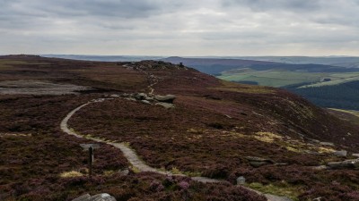
When I got onto the top it was easy walking as and the peat covered top now has a paved path a lot different from my early days 40yrs ago, this is to protect the tops from the damage by walkers and others, I carried on to dovestones then started my descent down to the reservoir past the shooting butts and frightening up many game birds.
I have walked this area for 40yrs and I never tire of it……….
Oh I didnt know I could get this on Google earth App but I did my random button pressing and this popped up it shows distance covered and elevation neat I may use this a bit more, I covered about 14km and went from 215m to a high point of 512m
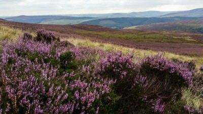
Looking across on the way up
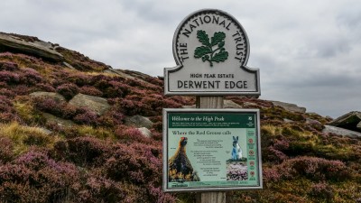
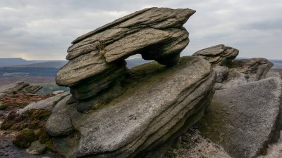
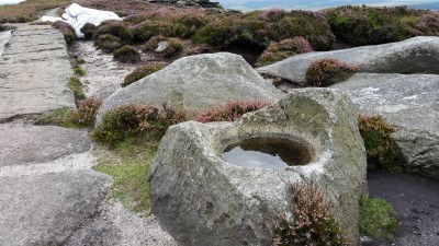
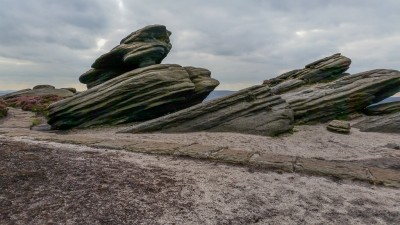
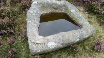
Some rock formations and some rock worked by locals on the top of derwent edge
